GIS Mapping and Data Analysis
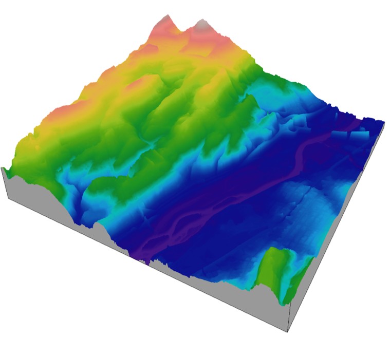
AMO Environmental Decisions utilizes Geographic Information Systems (GIS) and advanced data analysis tools to transform complex environmental, regulatory, and spatial data into clear, actionable information. Our GIS capabilities support environmental investigations, redevelopment planning, brownfields programs, regulatory compliance, natural resource assessments, and infrastructure projects.
GIS mapping allows project stakeholders to visualize environmental conditions, identify trends, evaluate risks, and make informed decisions. By integrating environmental sampling data, property information, aerial imagery, regulatory databases, topographic information, and other spatial datasets.
AMO develops customized mapping products tailored to each project’s objectives.
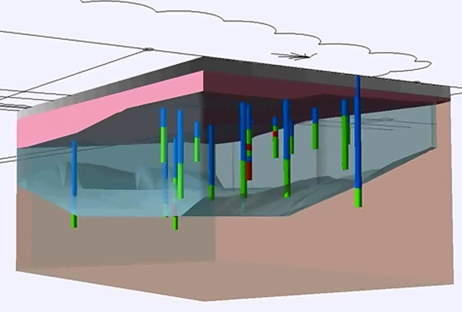
Our GIS and Data Analysis Services Include:
- Environmental site investigation mapping
- Phase I and Phase II ESA figure preparation
- Soil, groundwater, sediment, and vapor intrusion data visualization
- Contaminant plume mapping and interpretation
- Brownfields inventory development and site prioritization
- Redevelopment and land-use planning support
- Environmental justice and demographic analyses
- Watershed and natural resource mapping
- Wetland, floodplain, and ecological resource mapping
- Utility and infrastructure mapping
- GPS data collection and integration
- Drone and aerial imagery integration
- Spatial database development and management
- Custom web-based interactive mapping applications
AMO combines technical environmental expertise with advanced GIS technology to provide clients with accurate, visually compelling, and decision-focused mapping products. Our maps and data analyses are designed to clearly communicate project findings to regulators, property owners, developers, municipalities, funding agencies, and community stakeholders.
Whether supporting a single environmental investigation or managing large-scale redevelopment initiatives, AMO provides practical GIS solutions that help clients understand site conditions, manage environmental risk, and support successful project outcomes.